Afghanistan as seen from the shoes of pundits who do not land here, who often say we have enough helicopters. Any politician who says we have enough helicopters should be shunned for incompetence, lying, or both.Afghanistan as seen from the shoes of pundits who do not land here, who often say we have enough helicopters. Any politician who says we have enough helicopters should be shunned for incompetence, lying, or both.
Afghanistan as seen from the eyes of Big Business and regional powers.Afghanistan as seen from the eyes of Big Business and regional powers.
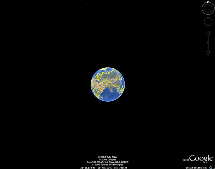
As seen from the altitude of the International Space Station: Most of the world’s opium supply is produced in the area depicted. The ‘Green Zone’ is an artery of opium and a vein of Taliban.As seen from the altitude of the International Space Station: Most of the world’s opium supply is produced in the area depicted. The ‘Green Zone’ is an artery of opium and a vein of Taliban.
As seen from the altitude of an SR-71.As seen from the altitude of an SR-71.
As seen from the top of Mt. Everest, if Mt. Everest towered another 26,000-odd feet atop the about 3,000 feet of this hot Helmand ‘desert of death.’As seen from the top of Mt. Everest, if Mt. Everest towered another 26,000-odd feet atop the about 3,000 feet of this hot Helmand ‘desert of death.’
The Helmand River as seen from Google Earth. Nearly everything in this image is under Taliban control. British and U.S. forces (almost exclusively British here) are contesting this control. The British are making progress in the Sangin area. We are vastly undermanned and under-resourced; however, some villagers in outlying regions here believe that the British are Russians from the last war. Near the top of the image is Kajaki Dam. The British control the dam, but the Taliban are in uncontested control of the surrounding area. The enemy fired on a helicopter at Kajaki this weekend, and shot one down at Sangin a couple weeks back.The Helmand River as seen from Google Earth. Nearly everything in this image is under Taliban control. British and U.S. forces (almost exclusively British here) are contesting this control. The British are making progress in the Sangin area. We are vastly undermanned and under-resourced; however, some villagers in outlying regions here believe that the British are Russians from the last war. Near the top of the image is Kajaki Dam. The British control the dam, but the Taliban are in uncontested control of the surrounding area. The enemy fired on a helicopter at Kajaki this weekend, and shot one down at Sangin a couple weeks back.
As seen from a British helicopter through my camera between Camp Bastion and Sangin. The ‘Green Zone’ in the upper left is the Helmand River Valley.As seen from a British helicopter through my camera between Camp Bastion and Sangin. The ‘Green Zone’ in the upper left is the Helmand River Valley.
Michael Yon is America's most experienced combat correspondent. He has traveled or worked in 82 countries, including various wars and conflicts.
Delivering accurate information is not Free. Your support makes it possible.
Your gifts ensure that you will continue to get unfiltered reports of what’s happening on the front lines of this fight for freedom. This will be a long journey. The struggle is just beginning. I am asking you for your support. Thank you.


 are contesting this control. The British are making progress in the Sangin area. We are vastly undermanned and under-resourced; however, some villagers in outlying regions here believe that the British are Russians from the last war. Near the top of the image is Kajaki Dam. The British control the dam, but the Taliban are in uncontested control of the surrounding area. The enemy fired on a helicopter at Kajaki this weekend, and shot one down at Sangin a couple weeks back.")


No comment yet, add your voice below!